The onset of December's Arctic air blast
- Last update: 16 minutes ago
- 3 min read
- 982 Views
- US
The beginning of December has ushered in colder-than-usual temperatures across much of the United States. The first blast of Arctic air has arrived just as many are preparing for holiday festivities and parades. The north and eastern parts of the country will experience a drop in temperatures, with some areas potentially seeing record-breaking lows.
This cold weather is the result of an Arctic blast that meteorologists have been forecasting, and it may not be the last one for the season. According to experts from the National Weather Service and AccuWeather, the polar air will persist, keeping temperatures lower than usual for the early to mid-December period in most areas, except for the Southwest.
In the western regions, temperatures are expected to warm up by next week. The Weather Prediction Center notes that warmer-than-average temperatures will spread into the central and southern Plains as well.
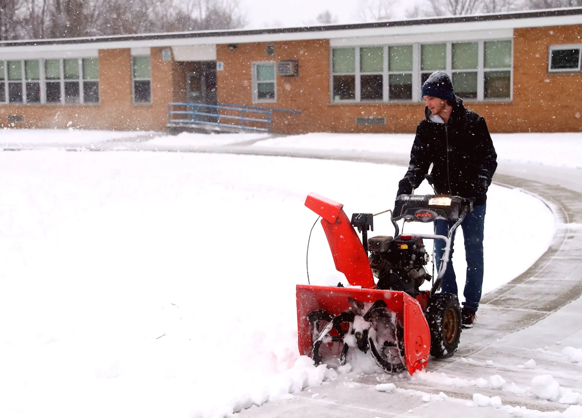
On December 3, an Arctic front swept across the Great Lakes, leading to snow squall advisories in New England on December 4. The cold front will continue to push east, with the Northern Plains and Upper Midwest likely to see daytime highs and morning lows 10-15 degrees below normal by December 6-7. This cold air will extend further east, and the Weather Prediction Center warns that additional winter weather advisories may be needed as the week progresses.
Overnight on December 3-4, a snowstorm was forecast to move through the Rockies, bringing the largest snowfall of the season so far to Denver. The Northern Rockies could see 1 to 2 feet of snow at higher elevations. Some locations in the northern Plains may experience sub-zero temperatures, according to AccuWeather.
The Arctic air will bring snow showers and squalls to parts of the Great Lakes and Northeast, with heavy rain and potentially freezing rain expected to spread from Texas to Delaware late in the week. A winter storm could cause slippery roads across the region, including Kentucky, Tennessee, North Carolina, and Virginia. There is also a marginal risk of severe weather and flash flooding in the Florida Panhandle and southern Georgia.
The cold wave pattern that began on December 5 and 6 is expected to persist, bringing temperatures well below average for the foreseeable future. In Pittsburgh, for example, temperatures are forecast to stay below 40F through at least December 9, marking the first time since 2005 that temperatures haven't risen above 40F during the first nine days of December.
As the cold continues, some regions, including parts of the Northeast, received significant snowfall in the first week of December. Locations in New York, New Hampshire, Maine, Massachusetts, Vermont, and Pennsylvania saw between 6 to 12 inches of snow, with other states likely to experience more snow and winter weather in the coming days.
While the early December snowfalls have been substantial, it remains uncertain whether this winter will bring a "white Christmas" for many regions. The cold air is certainly setting the stage for a chilly end to the year, but more winter weather developments are expected in the coming weeks.
Author: Sophia Brooks
Share

Governor says National Guard member is "making gradual progress" after D.C. shooting
12 minutes ago 2 min read US
The onset of December's Arctic air blast
16 minutes ago 3 min read US

Investigation reveals victims of Maryland house fire were also shot
25 minutes ago 4 min read US

3 officers wounded, suspect fatally shot in gunfight at Omaha gas station
26 minutes ago 2 min read US

Kalen DeBoer, Alabama Receives Unfavorable Update During College Football Season
36 minutes ago 2 min read US

Infant and grandfather possibly killed in Tennessee pitbull attack
43 minutes ago 2 min read US

When a Lowe's store cat went missing, employees went above and beyond to locate her
44 minutes ago 2 min read US

Puerto Rico Lottery results: Check out the winning numbers for Pega 2, Pega 3 on December 5, 2025
44 minutes ago 2 min read US

Hozhonigo Institute Boosts $34.5M in Grants for Tribal Communities
45 minutes ago 2 min read US

Drones deliver tree seeds to safeguard reservoir
49 minutes ago 2 min read US