A newly designated system, Winter Storm Chan, is tracking toward the Midwest with another round of snowfall, following closely behind Winter Storm Bellamy, which disrupted holiday travel. The storm is expected to shift eastward by Tuesday, bringing a combination of snow and icy conditions through Tuesday night.
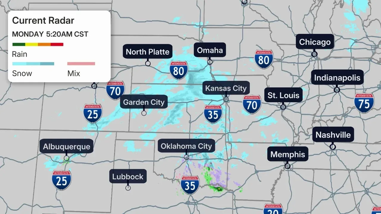
Early radar imagery indicates light snow spreading over sections of the Plains. Farther south, parts of Oklahoma and Arkansas may experience light sleet or pockets of freezing rain.
The National Weather Service has issued winter weather advisories from the Plains through the Midwest, into the Appalachians, and portions of the Northeast, signaling the potential for minor wintry precipitation capable of creating slick roads. Winter storm watches have also been posted across parts of the Northeast, stretching from northeastern Pennsylvania to Maine, where heavier snowfall is possible. These watches exclude the immediate I-95 corridor from Boston southward.
Most of the Midwest will receive its snowfall on Monday or Monday night, while the Northeast is expected to see snow develop on Tuesday, with some areas of northern New England holding onto snow into Tuesday night.
Across the Midwest, snow totals should generally fall between 1 and 3 inches, though isolated higher amounts are possible. This could create difficult driving conditions late Monday and potentially into the Tuesday morning commute.
In the Northeast, accumulations of 6 inches or more are possible from the lower Hudson Valley into New England. Localized totals approaching a foot may develop from areas west of Boston into southern New Hampshire and southern Maine. Travel disruptions are likely Tuesday and Tuesday night, with snow-covered roads remaining an issue into Wednesday morning.
Temperatures are expected to stay below freezing through the week, allowing snow to persist where it falls. Repeated surges of cold air will reinforce a stretch of chilly, unsettled weather across the Midwest and Great Lakes.
Pockets of sleet and freezing rain may form from portions of Arkansas and the Mississippi Valley into the eastern states through early Tuesday. The greatest risk for ice accumulation lies in the southern Appalachians and neighboring Piedmont, from western North Carolina through West Virginia and western Virginia. Some areas, especially from the Shenandoah Valley into northwest North Carolina, may see enough ice to cause slick roads and isolated power outages.
Major East Coast cities including Boston, New York, Philadelphia and Washington, D.C. have seen their first flakes of the season but have yet to record measurable snowfall. Rain is expected to dominate in D.C., Philadelphia and New York City, though a brief mix with wet snow cannot be ruled out at the beginning or end of the system. Boston has the highest chance among these cities of seeing measurable snowfall, with precipitation potentially switching to wet snow Tuesday night.